Monsoon watch: the streets that flood first and why
The same six stretches go under every year. A drain-by-drain look at where the water actually comes from — and the fixes that would hold.
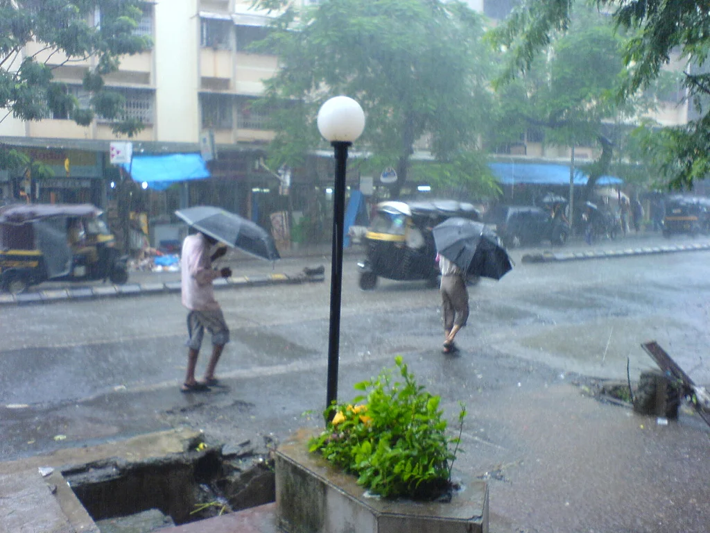
- Six stretches flood on schedule every season
- Older drains follow streams that no longer exist
- Desilting before June is the cheapest real fix
Ask any auto driver for the flood map and he will recite it faster than the civic app: the underpass, the market lane, the two low crossings, and the stretch where three colonies' water meets one drain built for none of them.
The pattern is topography plus history. Older drains follow streams that no longer exist; newer layouts drain into pipes sized for the rainfall of thirty years ago. When a cloudburst delivers a month's quota in an evening, the network does exactly what its blueprints predict.
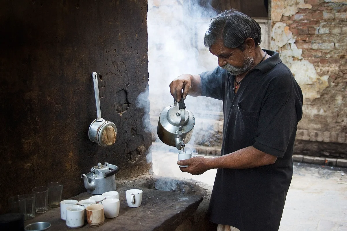
Shopkeepers on the market lane have evolved their own early-warning system: when the tea stall's step goes under, everything on the floor gains a shelf within ten minutes. The stall owner has become the unofficial gauge the whole lane checks before the sky.
Engineers say the honest fixes are unglamorous — desilting before June instead of during it, gratings that survive festival crowds, and one new link drain that has been surveyed three times and built zero times.
Until then, the six stretches will keep their reputation, the autos will keep their detours, and the tea stall's step will keep the most accurate rainfall record in the ward.
Reader Comments
Comments are reviewed by our desk before they appear. Sign in with your mobile number to join the discussion.